Introduction
In the digital age, the concept of cities has transformed from mere living spaces into dynamic ecosystems where technology, data, and human needs intersect. Governments around the world are increasingly turning to GEO Services to plan, manage, and sustain smart cities. A smart city is not just about infrastructure or technology, but about creating sustainable environments where people can live, work, and thrive more efficiently.
The rise of GEO (Geospatial) technologies has given governments the tools to monitor urban landscapes in real time, predict growth patterns, optimize public resources, and improve the overall quality of life for citizens. With platforms and solutions offered by innovative technology partners such as Adomantra, governments are gaining the ability to make smarter, data-driven decisions for city planning and governance.
This blog explores in depth how GEO Services are being applied across various dimensions of smart cities, including transportation, healthcare, energy, environment, and citizen engagement.
1. Understanding GEO Services in the Context of Smart Cities
1.1 What Are GEO Services?
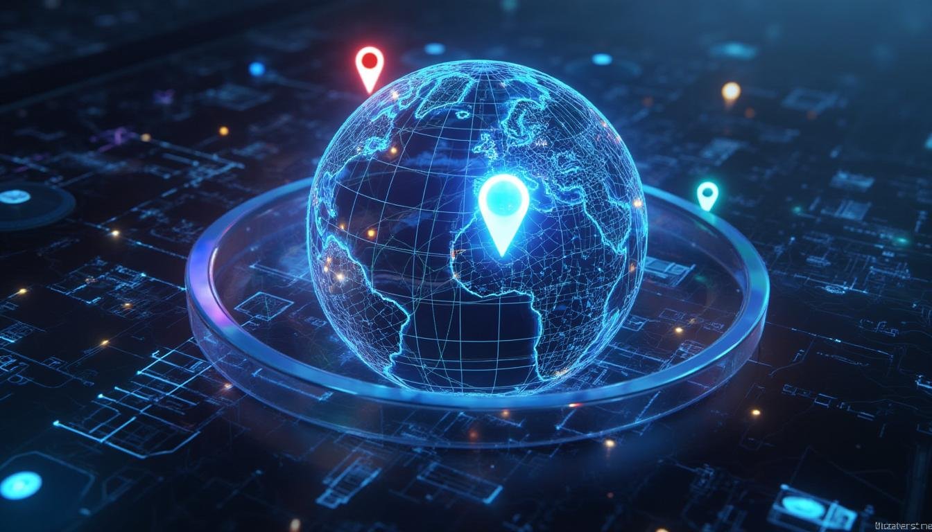
GEO Services refer to applications and systems that rely on geospatial data—information tied to specific locations on Earth. This includes mapping, satellite imagery, GPS tracking, spatial analytics, and geofencing technologies. GEO Services are critical for visualizing complex data and helping decision-makers see patterns that would otherwise remain hidden.
1.2 Why GEO Services Are Vital for Smart Cities
A smart city cannot function without accurate data. GEO Services provide the geographical intelligence governments need to:
Map and analyze infrastructure needs
Manage urban growth
Monitor environmental changes
Track transportation and mobility patterns
Improve emergency response
1.3 Government Adoption Worldwide
From Singapore’s smart mobility projects to India’s Digital India mission, governments are integrating GEO Services to build sustainable urban ecosystems. Their adoption ensures that planning is data-driven rather than assumption-based.
2. Role of Governments in Smart Cities
2.1 Governance and Policy
Governments provide the regulatory frameworks that ensure GEO Services are integrated ethically and effectively. Data privacy, accessibility, and security become critical aspects when handling geospatial information.
2.2 Funding and Infrastructure
Most GEO Service applications require significant investment in hardware, software, and training. Governments fund these initiatives directly or through public-private partnerships with technology providers like Adomantra.
2.3 Coordination Across Departments
A smart city involves multiple stakeholders—transportation authorities, environmental bodies, healthcare agencies, and energy providers. GEO Services act as a unifying layer of information, enabling inter-departmental collaboration.
3. Key Applications of GEO Services in Smart Cities
3.1 Urban Planning and Infrastructure Development
Governments use GEO Services to visualize land use, identify growth zones, and allocate resources effectively. With accurate mapping, they can forecast population growth, design sustainable housing projects, and prevent unplanned urban sprawl.
3.2 Smart Transportation Systems
Traffic congestion is one of the biggest challenges in cities. GEO Services allow governments to analyze traffic flows in real time, design intelligent traffic management systems, and optimize public transport routes. For instance:
GPS data helps in monitoring buses and trains
Smart signals reduce waiting times at intersections
Road sensors predict high-traffic zones
3.3 Environmental Monitoring
Governments can track air quality, water pollution, and deforestation with satellite-based GEO Services. By layering geospatial data with environmental indicators, policies can be created to address climate change and urban pollution.
3.4 Disaster Management and Emergency Response
During floods, earthquakes, or fires, GEO Services provide situational awareness. Governments can track affected zones, deploy rescue teams effectively, and monitor recovery operations.
3.5 Public Safety and Security
Law enforcement agencies integrate GEO Services to identify crime-prone areas, monitor crowd movement during events, and create predictive policing models.
3.6 Healthcare and Pandemic Response
The COVID-19 pandemic highlighted the importance of geospatial intelligence. Governments used GEO Services to track infections, manage healthcare facilities, and optimize vaccine distribution.
4. Case Studies of GEO Services in Action
4.1 Singapore: Smart Mobility
Singapore uses GEO Services to operate one of the world’s most efficient transport networks. Real-time traffic management reduces congestion, and predictive models improve bus scheduling.
4.2 India: Smart Cities Mission
The Government of India has invested in GEO Services to modernize over 100 cities. From smart grids to GIS-based waste management, these initiatives highlight the scale of adoption.
4.3 USA: Disaster Management
FEMA in the United States leverages GEO Services for disaster preparedness and emergency relief, using satellite imagery to predict hurricane paths and deploy resources efficiently.
5. Benefits of GEO Services for Governments and Citizens
Better Decision-Making – Data-driven insights replace guesswork.
Cost Savings – Efficient planning reduces unnecessary expenses.
Transparency – Citizens gain access to government initiatives through open data platforms.
Sustainability – GEO Services enable eco-friendly city designs.
Citizen-Centric Governance – By mapping citizen needs, governments can deliver services more effectively.
6. Challenges in Implementing GEO Services
Data Privacy – Handling sensitive geospatial data raises concerns.
High Costs – Setting up infrastructure requires large investments.
Interoperability Issues – Different government departments may use incompatible systems.
Skilled Workforce Shortage – Advanced GEO analytics require trained professionals.
Public Awareness – Citizens may resist surveillance without understanding the benefits.
7. The Role of Private Sector and Partnerships
Governments alone cannot build smart cities. Collaboration with private companies like Adomantra ensures access to cutting-edge technologies, scalable platforms, and specialized expertise. These partnerships also promote innovation and accelerate adoption.
8. Future of GEO Services in Smart Cities
AI Integration – Machine learning will enhance predictive models.
IoT Expansion – Internet of Things devices will create more real-time data points.
Digital Twins – Virtual replicas of cities will allow simulation-based planning.
Sustainability Focus – Renewable energy and green policies will rely heavily on geospatial analytics.
Conclusion
Governments worldwide are realizing that the foundation of a truly smart city lies in data-driven governance. GEO Services provide the spatial intelligence needed to design sustainable infrastructure, manage resources efficiently, and improve the quality of life for citizens.
While challenges such as cost, privacy, and interoperability exist, partnerships with technology providers like Adomantra ensure that governments can overcome these barriers. The future of smart cities depends on how effectively GEO Services are adopted and integrated into governance.
Smart cities are not just a vision for the future—they are a present-day reality, shaped and guided by the intelligent use of GEO Services.
Frequently Asked Questions (FAQ)
1. What are GEO Services?
GEO Services refer to digital solutions that use geospatial data, maps, satellite imagery, and location-based analytics to provide insights about a specific region or environment. In smart cities, they help governments plan infrastructure, manage traffic, monitor the environment, and improve citizen services.
2. How do GEO Services help in smart cities?
GEO Services provide governments with real-time data to make better decisions. For example:
Mapping population growth for housing projects
Optimizing traffic routes with GPS analytics
Tracking air quality and pollution levels
Managing waste collection through location data
These services transform city governance into a more efficient and citizen-friendly process.
3. Why are governments investing in GEO Services?
Governments invest in GEO Services because they provide cost savings, transparency, and sustainability. Instead of relying on assumptions, policies can be designed using accurate, location-based data. This ensures resources are not wasted and citizens benefit from smarter governance.
4. Can GEO Services improve transportation in cities?
Yes. GEO Services play a major role in designing smart transport systems. Real-time traffic monitoring helps reduce congestion, while geospatial mapping allows public transport routes to be planned more effectively. Many cities also use smart traffic lights connected with GEO data to shorten waiting times.
5. How are GEO Services used in disaster management?
In disaster management, GEO Services provide situational awareness. During floods, earthquakes, or wildfires, governments use satellite data and maps to identify affected areas, deploy rescue teams, and monitor relief operations. This reduces response time and saves lives.
6. Are GEO Services linked with AI and IoT?
Yes. Modern GEO Services are increasingly integrated with AI (Artificial Intelligence) and IoT (Internet of Things). AI improves prediction models (e.g., traffic or flood risks), while IoT devices collect real-time geospatial data from sensors, vehicles, and city infrastructure. Together, they create a highly connected and intelligent smart city ecosystem.
7. What challenges do governments face while using GEO Services?
Some key challenges include:
High cost of implementation
Data privacy and citizen security concerns
Interoperability issues between government departments
Need for skilled professionals in geospatial analytics
Citizen awareness, since many people worry about surveillance
8. Do citizens directly benefit from GEO Services?
Yes. Citizens benefit in multiple ways, such as:
Shorter travel times with smart traffic management
Better healthcare access through location-based hospital planning
Cleaner air and water due to environmental monitoring
Faster disaster response and safer communities
Ultimately, GEO Services make urban life more convenient and sustainable.
9. How does India use GEO Services in its Smart Cities Mission?
Under India’s Smart Cities Mission, GEO Services are used for waste management, smart grids, traffic control, and urban planning. Many Indian cities rely on geospatial platforms to track resource consumption, monitor pollution, and improve citizen engagement platforms.
10. What is the future of GEO Services in smart cities?
The future lies in AI-powered digital twins, predictive analytics, and deeper integration with IoT. Cities will soon create 3D digital replicas of themselves, where governments can simulate different scenarios before making real-world decisions. This will make cities safer, greener, and more efficient.
11. Can private companies help governments with GEO Services?
Yes. Private technology companies like Adomantra play a critical role in providing platforms, solutions, and expertise to governments. Through public-private partnerships, governments can reduce costs, access innovation, and speed up implementation of GEO-driven smart city initiatives.
12. How do GEO Services contribute to sustainability?
GEO Services help monitor environmental changes, track energy consumption, and design eco-friendly infrastructure. For example, they allow governments to identify renewable energy potential zones, map tree cover, and track greenhouse gas emissions—contributing directly to sustainability goals.