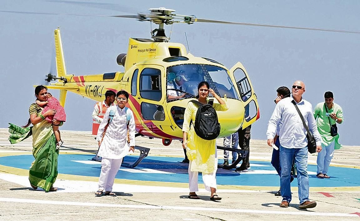
GPS Tracking for Emergency Services: Improve Response Time & Coordination
By Sujal Choubey 20-03-2026 259
Emergency response depends on speed, accuracy, and coordination. In situations where every second matters, even a small delay can affect outcomes.
This is where GPS Tracking for Emergency Services becomes essential. It allows control centers to monitor vehicles in real time, assign tasks quickly, and ensure that help reaches the right place without unnecessary confusion.
Why Real-Time Location Matters
In many emergencies, the biggest challenge is not the response itself but reaching the exact location on time. Relying only on verbal communication or manual directions can lead to delays, especially in crowded cities or unfamiliar areas. Real-time tracking removes this uncertainty by showing the exact position of each vehicle instantly.
When dispatch teams can see where every ambulance or fire unit is located, they can send the closest one without wasting time. This reduces delays and helps ensure that critical situations are handled faster. In densely populated areas, even a few minutes saved can make a meaningful difference in outcomes.
Faster and Smarter Dispatch Decisions
One of the most practical benefits of tracking systems is how they simplify dispatching. Instead of checking availability manually, operators can view live movement and assign the nearest unit immediately. This makes the process more efficient and reduces the chances of sending a vehicle from a distant location when a closer one is available.
In urgent situations such as medical emergencies or fire incidents, this difference in response time can be extremely important. Faster dispatch often leads to quicker assistance and better overall outcomes. It also reduces the stress on operators who must make quick decisions under pressure.
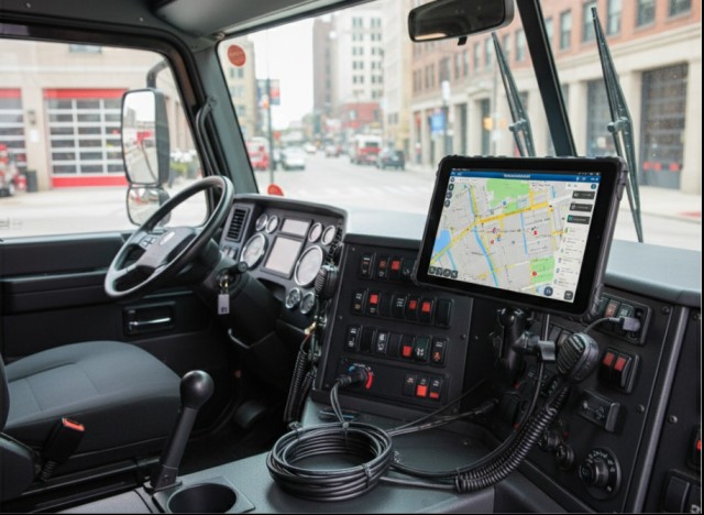
Navigation Becomes More Reliable
Reaching the destination is not always straightforward. Traffic congestion, roadblocks, and unpredictable conditions can slow down emergency vehicles. GPS-based navigation helps drivers adjust routes in real time, allowing them to avoid delays and choose more efficient paths.
This becomes especially valuable in cities where road conditions change frequently due to traffic, construction, or public events. Instead of relying on fixed routes, drivers can respond dynamically, improving both speed and safety during travel.
Coordination Between Teams Improves
Emergency operations often involve multiple teams working together at once. Ambulances, fire units, and support vehicles need to stay coordinated, especially during large-scale incidents. Tracking systems help maintain this coordination by providing a clear, shared view of where each unit is at any moment.
With better visibility, communication becomes more precise. Teams can plan movements, avoid overlap, and ensure that resources are used efficiently. This level of coordination is particularly important during complex situations like natural disasters or large accidents.
Supporting Safety and Accountability
Tracking is not only about reaching locations faster. It also supports the safety of emergency personnel. In high-risk environments, knowing the exact position of each unit ensures that backup can be sent quickly if needed.
Additionally, recorded data allows authorities to review response performance over time. They can analyze travel routes, response times, and delays to improve future planning. This helps build a more reliable and efficient emergency response system.
Final Thought
The importance of GPS Tracking for Emergency Services lies in its ability to bring clarity and speed to critical situations.
By improving response time, strengthening coordination, and supporting safer operations, it plays a key role in making emergency systems more effective and dependable.